
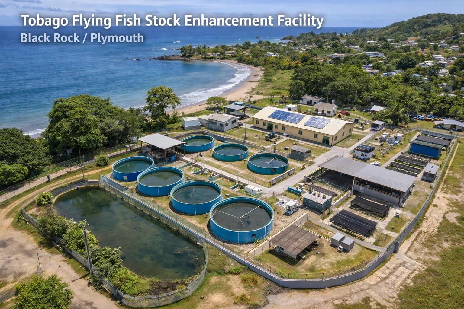
You can see most of what matters from the beach. The reef line that shelters the bay, the depth change where the water turns from green to blue, and the flat ground behind the tree line where the hatchery will stand. We spent the morning walking it with two fisherfolk who have worked this shore for a combined fifty years.
The site works for the same reasons the fishing does. The bay is protected in most weather, the access road already exists, and the water quality readings we took — temperature, salinity, dissolved oxygen — sat inside the ranges the rearing protocol calls for. Flying fish (Hirundichthys affinis) spawn offshore of this coast every season; the eggs the programme will buy come in over this same beach.
Water readings were taken at three points across the bay at 07:00 and 13:00 with a handheld multiparameter meter, and logged against the same template the hatchery will use daily. The numbers go into the baseline dataset from day one.
What the fisherfolk told us mattered more than the readings. Where the current runs when the swell comes from the north. Which weeks the eggs arrive thick on the sargassum lines. Who on this beach would take the bucket work seriously and who would not. None of that is in the 2007 literature, and all of it shapes how the collection programme gets run.
Next visit, we stake out the tank pad and the intake line with the engineers. That note will have drawings in it.
- 28.4 °C
- Water temperature
- 35.1 ppt
- Salinity
- 6.2 mg/L
- Dissolved oxygen
- Black Rock facility site
- Baseline water quality
- Fisherfolk knowledge